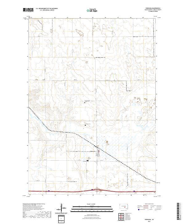
2021 Map of Pukwana
USGS Topo · Published 2021About this map
The town of Pukwana serves as the primary hub of this Brule County prairie landscape, organized around a grid that includes High Street, Stockwell Street, and Main Street. The area's cultural and genealogical history is deeply rooted in its cemetery sites, which reflect the heritage of the early plains settlers. These include the Saint Anthony Cemetery, Community Cemetery, and two distinct sites of Scandinavian heritage: the Norwegian Cemetery and the Free Norwegian Lutheran Cemetery.
Find a feature on this map
31 named features on this map. Tap any name to fly to it.
Don’t see what you’re looking for? This feature index may not catch every label — zoom into the map to look around manually.
Map Details
Editions of this 2021 Pukwana Map
This is the sole edition of this map. No revisions or reprints were ever made.
Other maps of this area

1935 · Chamberlain
USGS Topo · 1:62,500

1939 · Chamberlain
USGS Topo · 1:62,500

1940 · Iona
USGS Topo · 1:62,500

1941 · Pukwana
USGS Topo · 1:62,500

1944 · Iona
USGS Topo · 1:62,500

1951 · Pukwana
USGS Topo · 1:62,500

1955 · Mitchell
USGS Topo · 1:250,000

1959 · Mitchell
USGS Topo · 1:250,000

1974 · Red Lake West
USGS Topo · 1:24,000
1974 · Chamberlain
USGS Topo · 1:24,000