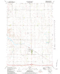
1983 Map of Pukwana
USGS Topo · Published 1983About this map
Pukwana stands as the primary settlement in this central South Dakota landscape, situated along the Burlington Northern railroad line. The map highlights the town's social and community infrastructure during the early 1980s, including the St Anthony Cem and Community Cem. Just to the north of the town site, the Jorgensen State Wildlife Refuge and a large Sewage Disposal Pond indicate the modern land management practices of the era.
Find a feature on this map
20 named features on this map. Tap any name to fly to it.
Don’t see what you’re looking for? This feature index may not catch every label — zoom into the map to look around manually.
Map Details
Editions of this 1983 Pukwana Map
This is the sole edition of this map. No revisions or reprints were ever made.
Other maps of this area

1935 · Chamberlain
USGS Topo · 1:62,500

1939 · Chamberlain
USGS Topo · 1:62,500

1940 · Iona
USGS Topo · 1:62,500

1941 · Pukwana
USGS Topo · 1:62,500

1944 · Iona
USGS Topo · 1:62,500

1951 · Pukwana
USGS Topo · 1:62,500

1955 · Mitchell
USGS Topo · 1:250,000

1959 · Mitchell
USGS Topo · 1:250,000

1974 · Red Lake West
USGS Topo · 1:24,000
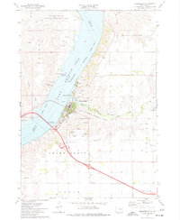
1974 · Chamberlain
USGS Topo · 1:24,000