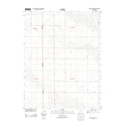
2013 Map of Punkin Center NW
USGS Topo · Published 2013About this map
Middle Rush Cr and its various tributaries define the drainage patterns of this high plains landscape along the Elbert and Lincoln County border. This region, characterized by its ranching infrastructure and section-line roads like Co-71, shows the systematic organization of the Colorado prairie. The presence of the Fred Pauls Detention Reservoir Number 1 in the northern portion of the quadrangle highlights early 21st-century water management efforts in an arid environment. Near the eastern boundary, the elevation rises slightly toward Rock Point, overlooking the seasonal flows of Apache Cr and N Rush Cr. The map preserves the specific locations of rural county roads such as Co Road 34 and Co Road 201, which serve as primary landmarks for navigating the vast open spaces between S Rush Cr and Mustang Cr.
Find a feature on this map
25 named features on this map. Tap any name to fly to it.
Don’t see what you’re looking for? This feature index may not catch every label — zoom into the map to look around manually.
Map Details
Editions of this 2013 Punkin Center NW Map
This is the sole edition of this map. No revisions or reprints were ever made.
Other maps of this area

1889 · Sanborn
USGS Topo · 1:125,000

1891 · Sanborn
USGS Topo · 1:125,000

1891 · Limon
USGS Topo · 1:125,000

1892 · Limon
USGS Topo · 1:125,000

1893 · Sanborn
USGS Topo · 1:125,000

1954 · Limon
USGS Topo · 1:250,000

1954 · Lamar
USGS Topo · 1:250,000

1957 · Limon
USGS Topo · 1:250,000

1958 · Limon
USGS Topo · 1:250,000

1958 · Lamar
USGS Topo · 1:250,000