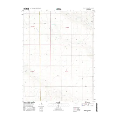
2016 Map of Punkin Center NW
USGS Topo · Published 2016About this map
The High Plains drainage of the Rush Creek system defines this landscape along the border of Elbert and Lincoln counties. The terrain is marked by the branching fingers of Middle Rush Cr, S Rush Cr, and N Rush Cr, which carve shallow paths through the prairie toward the east. This 2016 survey illustrates a modern rangeland topography where water management is central to the local economy, evidenced by features such as Fred-Pauls-Detention Reservoir Number 1. Along the eastern edge, the elevation rises slightly to the distinct landmark of Rock Point, overlooking the confluence of Apache Cr. The map reveals a highly structured grid of county roads, including Co RD 34 and Co RD 2g, that facilitate movement across the wide township and range divisions of the Colorado plains.
Find a feature on this map
23 named features on this map. Tap any name to fly to it.
Don’t see what you’re looking for? This feature index may not catch every label — zoom into the map to look around manually.
Map Details
Editions of this 2016 Punkin Center NW Map
This is the sole edition of this map. No revisions or reprints were ever made.
Other maps of this area

1889 · Sanborn
USGS Topo · 1:125,000

1891 · Sanborn
USGS Topo · 1:125,000

1891 · Limon
USGS Topo · 1:125,000

1892 · Limon
USGS Topo · 1:125,000

1893 · Sanborn
USGS Topo · 1:125,000

1954 · Limon
USGS Topo · 1:250,000

1954 · Lamar
USGS Topo · 1:250,000

1957 · Limon
USGS Topo · 1:250,000

1958 · Limon
USGS Topo · 1:250,000

1958 · Lamar
USGS Topo · 1:250,000