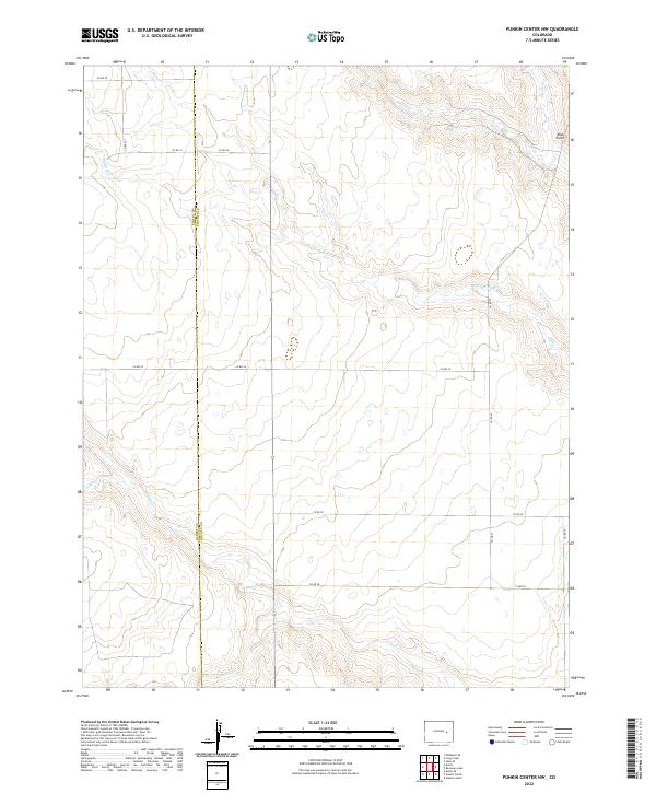
2022 Map of Punkin Center NW
USGS Topo · Published 2022About this map
Apache Cr and Middle Rush Cr define the drainage patterns across this stretch of the High Plains along the boundary of Elbert and Lincoln Counties. The landscape is characterized by its creek systems, including S Rush Cr and the headwaters of Mustang Cr, which illustrate the sparse but vital water network of eastern Colorado. Notable topographic features like Rock Point provide rare verticality in this high-altitude prairie environment. The section-line road grid, including Co RD 2g and Co RD 34, reflects the enduring legacy of the Public Land Survey System, which continues to dictate the rural settlement pattern and transportation infrastructure of the region into the twenty-first century.
Find a feature on this map
22 named features on this map. Tap any name to fly to it.
Don’t see what you’re looking for? This feature index may not catch every label — zoom into the map to look around manually.
Map Details
Editions of this 2022 Punkin Center NW Map
This is the sole edition of this map. No revisions or reprints were ever made.
Other maps of this area

1889 · Sanborn
USGS Topo · 1:125,000

1891 · Sanborn
USGS Topo · 1:125,000

1891 · Limon
USGS Topo · 1:125,000

1892 · Limon
USGS Topo · 1:125,000

1893 · Sanborn
USGS Topo · 1:125,000

1954 · Limon
USGS Topo · 1:250,000

1954 · Lamar
USGS Topo · 1:250,000

1957 · Limon
USGS Topo · 1:250,000

1958 · Limon
USGS Topo · 1:250,000

1958 · Lamar
USGS Topo · 1:250,000