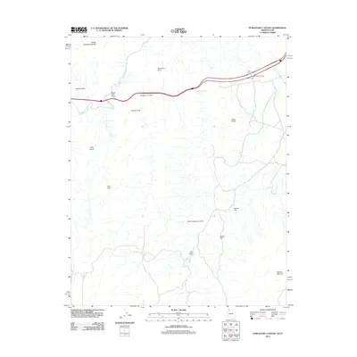
2011 Map of Purgatory Canyon
USGS Topo · Published 2011About this map
The Virgin River carves through this arid landscape along the Arizona-Utah border, anchoring a region of dramatic topographical shifts and named landmarks. The northern corridor is defined by the proximity of the State Line Reservoir and the Black Rock Interchange, where modern infrastructure meets the ancient drainage of Black Rock Gulch. Moving south, the terrain becomes increasingly complex, transitioning from the open reaches of Dinner Flat and Pocket Hill toward the steep descents of The Dives and the heights of Mokaac Mountain.
Find a feature on this map
17 named features on this map. Tap any name to fly to it.
Don’t see what you’re looking for? This feature index may not catch every label — zoom into the map to look around manually.
Map Details
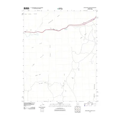
Editions of this 2011 Purgatory Canyon Map
2 editions found
Other maps of this area

1885 · St. George
USGS Topo · 1:250,000

1886 · Mt. Trumbull
USGS Topo · 1:250,000

1891 · St. George
USGS Topo · 1:250,000

1892 · Mt. Trumbull
USGS Topo · 1:250,000

1953 · Cedar City
USGS Topo · 1:250,000

1953 · Grand Canyon
USGS Topo · 1:250,000

1954 · Wolf Hole Mtn. NW
USGS Topo · 1:24,000

1954 · Beaver Dam Mts SE
USGS Topo · 1:24,000

1954 · Wolf Hole Mtn. NE
USGS Topo · 1:24,000

1954 · St. George
USGS Topo · 1:62,500