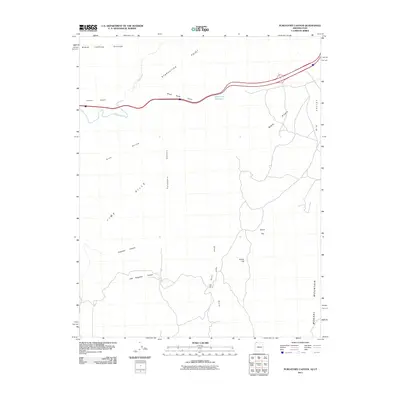
2011 Map of Purgatory Canyon
USGS Topo · Published 2011About this map
Purgatory Canyon and its smaller tributary, Little Purgatory Canyon, carve through the arid high desert of Mohave County along the Arizona-Utah border. This modern topographic study reveals a landscape defined by sharp drainage patterns and stark relief, where the Virgin River flows across the northern reach before the terrain rises into the Lime Hills and the slopes of Mokaac Mountain. Names like Starvation Point and The Dives Black Rock Gulch suggest a challenging environment for early travelers and stockmen, while the presence of Blakes Lambing Grounds provides a concrete link to the regional history of sheep ranching.
Find a feature on this map
16 named features on this map. Tap any name to fly to it.
Don’t see what you’re looking for? This feature index may not catch every label — zoom into the map to look around manually.
Map Details
Editions of this 2011 Purgatory Canyon Map
2 editions found
Other maps of this area

1885 · St. George
USGS Topo · 1:250,000

1886 · Mt. Trumbull
USGS Topo · 1:250,000

1891 · St. George
USGS Topo · 1:250,000

1892 · Mt. Trumbull
USGS Topo · 1:250,000

1953 · Cedar City
USGS Topo · 1:250,000

1953 · Grand Canyon
USGS Topo · 1:250,000

1954 · Wolf Hole Mtn. NW
USGS Topo · 1:24,000

1954 · Beaver Dam Mts SE
USGS Topo · 1:24,000

1954 · Wolf Hole Mtn. NE
USGS Topo · 1:24,000

1954 · St. George
USGS Topo · 1:62,500