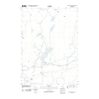
2010 Map of Putnam Mountain
USGS Topo · Published 2010About this map
The Iron Furnace stands near Mount Hope in the northern reaches of this Adirondack foothills landscape, signifying the industrial legacy of the region. The map captures a complex network of water bodies and recreational camps, including Lake Nebo, Hadlock Pond, and Camp Little Notch. Smaller settlements like West Fort Ann and Tripoli are connected by narrow winding roads such as Buttermilk Falls Rd and Sly Pond Rd.
Find a feature on this map
57 named features on this map. Tap any name to fly to it.
Don’t see what you’re looking for? This feature index may not catch every label — zoom into the map to look around manually.
Map Details
Editions of this 2010 Putnam Mountain Map
This is the sole edition of this map. No revisions or reprints were ever made.
Other maps of this area

1893 · Fort Ann
USGS Topo · 1:62,500

1893 · Whitehall
USGS Topo · 1:62,500

1895 · Whitehall
USGS Topo · 1:62,500

1895 · Fort Ann
USGS Topo · 1:62,500

1895 · Glens Falls
USGS Topo · 1:62,500

1897 · Bolton
USGS Topo · 1:62,500

1897 · Glens Falls
USGS Topo · 1:62,500

1898 · Whitehall
USGS Topo · 1:62,500

1898 · Fort Ann
USGS Topo · 1:62,500

1900 · Bolton
USGS Topo · 1:62,500