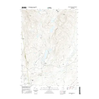
2016 Map of Putnam Mountain
USGS Topo · Published 2016About this map
The Mount Hope Iron Furnace stands as a testament to the industrial heritage of this landscape, situated near the headwaters of Mount Hope Brook. This 2016 survey documents the rural character of the Washington Co and Warren Co border, where small settlements like West Fort Ann, Tripoli, and Pattens Mills are connected by a network of winding roads and waterways. Genealogists can trace several family-named burial grounds, including Orcutt Cem, Brown Cem, and Griswold Cem, which are scattered throughout the hills and valleys. The terrain is defined by prominent peaks such as Putnam Mountain and Pilot Knob, while the valley floors are dotted with numerous water bodies like Lake Nebo, Copeland Pond, and Hadlock Pond. The inclusion of Harris Airport and the Adirondack Park boundary highlights the modern recreational and transport infrastructure that exists alongside the area's natural features and historical sites like Buttermilk Falls.
Find a feature on this map
69 named features on this map. Tap any name to fly to it.
Don’t see what you’re looking for? This feature index may not catch every label — zoom into the map to look around manually.
Map Details
Editions of this 2016 Putnam Mountain Map
This is the sole edition of this map. No revisions or reprints were ever made.
Other maps of this area

1893 · Fort Ann
USGS Topo · 1:62,500

1893 · Whitehall
USGS Topo · 1:62,500

1895 · Whitehall
USGS Topo · 1:62,500

1895 · Fort Ann
USGS Topo · 1:62,500

1895 · Glens Falls
USGS Topo · 1:62,500

1897 · Bolton
USGS Topo · 1:62,500

1897 · Glens Falls
USGS Topo · 1:62,500

1898 · Whitehall
USGS Topo · 1:62,500

1898 · Fort Ann
USGS Topo · 1:62,500

1900 · Bolton
USGS Topo · 1:62,500