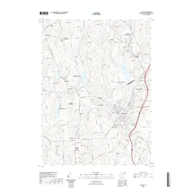
2021 Map of Putnam
USGS Topo · Published 2021About this map
The Quinebaug River and its tributary, the French River, anchor this detailed look at Windham County, where industrial history meets a landscape of preserved public spaces. The city of Putnam serves as a central hub, featuring the Putnam Courthouse and the historic Old Killingly Burial Ground. Surrounding settlements like North Grosvenor Dale and Mechanicsville reveal the region's textile and manufacturing legacy along the river banks, while the West Thompson Lake area provides a significant modern flood control landmark.
Find a feature on this map
137 named features on this map. Tap any name to fly to it.
Don’t see what you’re looking for? This feature index may not catch every label — zoom into the map to look around manually.
Map Details
Editions of this 2021 Putnam Map
This is the sole edition of this map. No revisions or reprints were ever made.
Other maps of this area

1887 · Brookfield
USGS Topo · 1:62,500

1889 · Webster
USGS Topo · 1:62,500

1889 · Putnam
USGS Topo · 1:62,500

1890 · Brookfield
USGS Topo · 1:62,500

1892 · Woodstock
USGS Topo · 1:62,500

1892 · Webster
USGS Topo · 1:62,500

1893 · Putnam
USGS Topo · 1:62,500

1893 · Brookfield
USGS Topo · 1:62,500

1908 · Quinsigamond
USGS Topo · 1:125,000

1908 · Ware
USGS Topo · 1:125,000