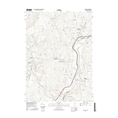
2015 Map of Putney
USGS Topo · Published 2015About this map
The Connecticut River serves as the dividing line between Vermont and New Hampshire in this 2015 survey, where the river winds past Kathan Meadows and Canoe Meadow. The landscape is defined by the high elevations of Putney Mtn and Black Mtn, while the valley floors are home to the villages of Putney and West Dummerston. Regional history is well-preserved through structural landmarks like the West Dummerston Covered Bridge and the Sacketts Brook Stone Arch Bridge. Numerous family and local cemeteries, including the Old North Burying Ground, Davis Cem, and Locust Ridge Cem, are scattered throughout the hills. Educational and institutional history is visible at Landmark Coll and the Sch for International Training, illustrating the area's continued development as an academic and residential hub along the river corridor.
Find a feature on this map
155 named features on this map. Tap any name to fly to it.
Don’t see what you’re looking for? This feature index may not catch every label — zoom into the map to look around manually.
Map Details
Editions of this 2015 Putney Map
This is the sole edition of this map. No revisions or reprints were ever made.
Other maps of this area

1891 · Brattleboro
USGS Topo · 1:62,500

1893 · Brattleboro
USGS Topo · 1:62,500

1898 · Keene
USGS Topo · 1:62,500

1927 · Bellows Falls
USGS Topo · 1:48,000

1930 · Saxtons River
USGS Topo · 1:48,000

1930 · Bellows Falls
USGS Topo · 1:62,500

1932 · Brattleboro
USGS Topo · 1:48,000

1932 · Keene
USGS Topo · 1:62,500

1933 · Saxtons River
USGS Topo · 1:62,500
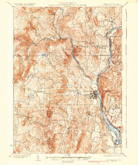
1935 · Brattleboro
USGS Topo · 1:62,500