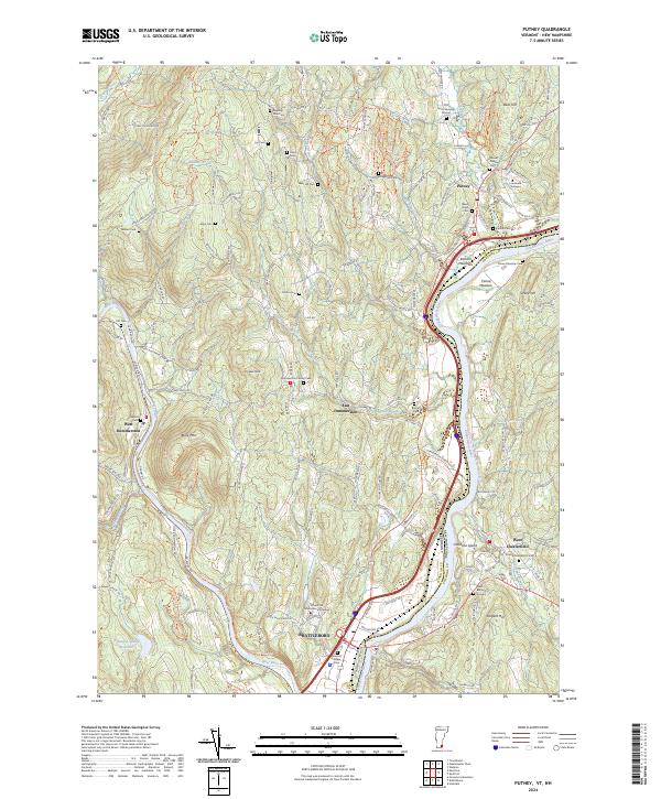
2024 Map of Putney
USGS Topo · Published 2024About this map
Putney and the surrounding hill country along the Connecticut River form a landscape defined by traditional New England settlement patterns and modern conservation. The town center of Putney sits near a cluster of historical burial sites, including the Old North Burying Ground and Maple Grove Cem, while the academic presence of Landmark College occupies the high ground to the south. The terrain is marked by steep ridges and deep valleys carved by tributaries such as Salmon Brook and Fall Brook, much of which is now protected within the Silvio O Conte National Fish And Wildlife Refuge.
Find a feature on this map
141 named features on this map. Tap any name to fly to it.
Don’t see what you’re looking for? This feature index may not catch every label — zoom into the map to look around manually.
Map Details
Editions of this 2024 Putney Map
This is the sole edition of this map. No revisions or reprints were ever made.
Other maps of this area

1891 · Brattleboro
USGS Topo · 1:62,500

1893 · Brattleboro
USGS Topo · 1:62,500

1898 · Keene
USGS Topo · 1:62,500

1927 · Bellows Falls
USGS Topo · 1:48,000

1930 · Saxtons River
USGS Topo · 1:48,000

1930 · Bellows Falls
USGS Topo · 1:62,500

1932 · Brattleboro
USGS Topo · 1:48,000

1932 · Keene
USGS Topo · 1:62,500

1933 · Saxtons River
USGS Topo · 1:62,500
1935 · Brattleboro
USGS Topo · 1:62,500