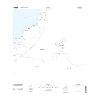
2013 Map of Puu Hinai
USGS Topo · Published 2013About this map
Coastal settlements and volcanic geology define this portion of the Island of Hawai'i during the early 21st century. The shoreline is punctuated by traditional Hawaiian water features, including the Keanapuu Fishpond, Waipuh Fishpond, and Hppeaia Fishpond, which sit adjacent to the village of Puako. These ancient structures offer a stark contrast to the modern residential development found inland at Waikoloa, where a network of streets like Paniolo Ave and Lina Poepoe St expand across the slopes.
Find a feature on this map
71 named features on this map. Tap any name to fly to it.
Don’t see what you’re looking for? This feature index may not catch every label — zoom into the map to look around manually.
Map Details
Editions of this 2013 Puu Hinai Map
This is the sole edition of this map. No revisions or reprints were ever made.
Other maps of this area

1913 · Kohala
USGS Topo · 1:62,500

1916 · Kohala
USGS Topo · 1:62,500

1916 · Waipio
USGS Topo · 1:62,500

1928 · Puako
USGS Topo · 1:62,500

1954 · Hawaii North
USGS Topo · 1:250,000

1956 · Puu Hinai
USGS Topo · 1:24,000

1956 · Kamuela
USGS Topo · 1:24,000

1956 · Keamuku
USGS Topo · 1:24,000

1956 · Nohonaohae
USGS Topo · 1:24,000

1956 · Kawaihae
USGS Topo · 1:24,000