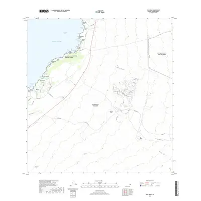
2017 Map of Puu Hinai
USGS Topo · Published 2017About this map
Waikoloa Village serves as the inland anchor for this coastal section of the Island of Hawai'i, where the modern residential grid meets the ancient volcanic landscape. Along the shoreline of the Pacific Ocean, traditional Hawaiian land management is evidenced by the Keanapou Fishpond and Hopeaia Fishpond, situated near the coastal settlement of Puako. This 2017 survey captures the intersection of tourism and preservation, featuring the Ala Kahakai National Historic Trail as it traverses the coastline between Kawaihae Bay and Makaiwa Bay.
Find a feature on this map
68 named features on this map. Tap any name to fly to it.
Don’t see what you’re looking for? This feature index may not catch every label — zoom into the map to look around manually.
Map Details
Editions of this 2017 Puu Hinai Map
This is the sole edition of this map. No revisions or reprints were ever made.
Other maps of this area

1913 · Kohala
USGS Topo · 1:62,500

1916 · Kohala
USGS Topo · 1:62,500

1916 · Waipio
USGS Topo · 1:62,500

1928 · Puako
USGS Topo · 1:62,500

1954 · Hawaii North
USGS Topo · 1:250,000

1956 · Puu Hinai
USGS Topo · 1:24,000

1956 · Kamuela
USGS Topo · 1:24,000

1956 · Keamuku
USGS Topo · 1:24,000

1956 · Nohonaohae
USGS Topo · 1:24,000

1956 · Kawaihae
USGS Topo · 1:24,000