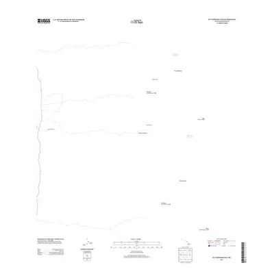
2013 Map of Puupohakuloa
USGS Topo · Published 2013About this map
Volcanic activity and pastoral outposts define this 2013 survey of the Island of Hawai‘i terrain. The map is heavily marked by the paths of massive volcanic events, most notably the Honokua Lava Flow of 1950 and the Ka‘apuna Lava Flow of 1950, which cut broad swaths across the landscape. Further south, the ‘Ālika Lava Flow of 1919 remains a prominent geographic feature.
Find a feature on this map
12 named features on this map. Tap any name to fly to it.
Don’t see what you’re looking for? This feature index may not catch every label — zoom into the map to look around manually.
Map Details
Editions of this 2013 Puupohakuloa Map
This is the sole edition of this map. No revisions or reprints were ever made.
Other maps of this area

1924 · Honuapo
USGS Topo · 1:62,500

1928 · Mauna Loa
USGS Topo · 1:62,500

1928 · Hoopuloa
USGS Topo · 1:62,500

1954 · Hawaii South
USGS Topo · 1:250,000

1959 · Hawaii South
USGS Topo · 1:250,000

1959 · Honaunau
USGS Topo · 1:24,000
1960 · Kaunene
USGS Topo · 1:24,000

1961 · Hawaii South
USGS Topo · 1:250,000

1962 · Hawaii South
USGS Topo · 1:250,000

1962 · Milolii
USGS Topo · 1:24,000