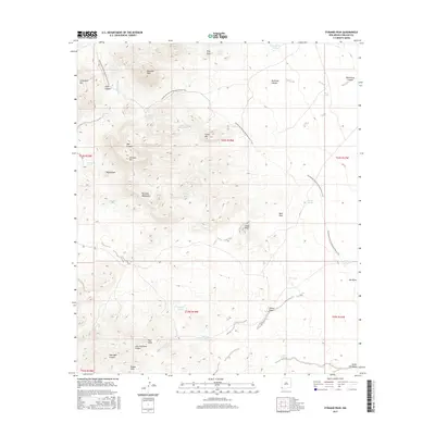
2017 Map of Pyramid Peak
USGS Topo · Published 2017About this map
Pyramid Peak rises as a central landmark within the northern reaches of the Pyramid Mountains in this high-desert landscape. The terrain is defined by its complex drainage network, where seasonal water is managed through a series of named reservoirs and tanks such as Graveyard Tank, Cement Dam Tank, and Georges Tank. These water sources, crucial for cattle and wildlife in the arid environment, are scattered among the foothills of the Leitendorf Hills and Russel Hills.
Find a feature on this map
77 named features on this map. Tap any name to fly to it.
Don’t see what you’re looking for? This feature index may not catch every label — zoom into the map to look around manually.
Map Details
Editions of this 2017 Pyramid Peak Map
This is the sole edition of this map. No revisions or reprints were ever made.
Other maps of this area

1954 · Silver City
USGS Topo · 1:250,000

1958 · Silver City
USGS Topo · 1:250,000

1962 · Silver City
USGS Topo · 1:250,000

1962 · Lisbon
USGS Topo · 1:24,000

1963 · Lordsburg
USGS Topo · 1:24,000

1964 · Muir Ranch
USGS Topo · 1:24,000
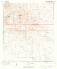
1964 · South Pyramid Peak
USGS Topo · 1:24,000

1964 · Pyramid Peak
USGS Topo · 1:24,000
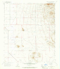
1964 · Table Top Mountain
USGS Topo · 1:24,000
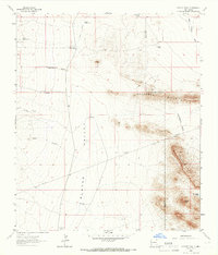
1964 · Coyote Peak
USGS Topo · 1:24,000