
1963 Map of Lordsburg
USGS Topo · Published 1965About this map
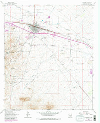
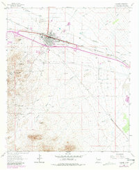
Lordsburg serves as the central hub of this 1963 landscape, where the Southern Pacific tracks and a network of arterial roads intersect. South of the city, the terrain is defined by its mining history, evidenced by the clusters of workings at the Henry Clay Mine, Atwood Hill Mine, and Waldo Mine near the settlements of Shakespeare and Valedon. The map preserves the alignment of the Butterfield Trail as it skirts Wildcat Hill, providing a look at the historical transit corridor before modern development.
Find a feature on this map
40 named features on this map. Tap any name to fly to it.
Don’t see what you’re looking for? This feature index may not catch every label — zoom into the map to look around manually.
Map Details
Editions of this 1963 Lordsburg Map
Other maps of this area

1954 · Silver City
USGS Topo · 1:250,000

1958 · Silver City
USGS Topo · 1:250,000

1962 · Silver City
USGS Topo · 1:250,000

1962 · Lisbon
USGS Topo · 1:24,000

1963 · Gold Hill
USGS Topo · 1:24,000

1963 · Culberson Ranch
USGS Topo · 1:24,000

1964 · Muir Ranch
USGS Topo · 1:24,000

1964 · Pyramid Peak
USGS Topo · 1:24,000

1964 · Gary
USGS Topo · 1:24,000
1964 · Ninemile Hill
USGS Topo · 1:24,000