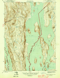
1944 Map of Quabbin Reservoir
USGS Topo · Published 1944About this map
Quabbin Reservoir dominates this 1940s landscape, illustrating the profound transformation of the Swift River Valley as it was inundated to provide water for Boston. The map captures the central Massachusetts terrain during a transitional period, where former community centers like North Prescott and parts of New Salem are shown in relation to the rising waters and new shoreline. The Daniel Shays Highway runs along the western edge, providing a modern transport link through the wooded uplands of Shutesbury.
Find a feature on this map
24 named features on this map. Tap any name to fly to it.
Don’t see what you’re looking for? This feature index may not catch every label — zoom into the map to look around manually.
Map Details
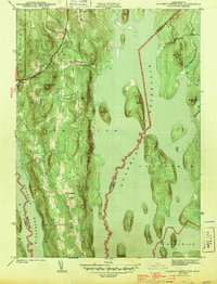
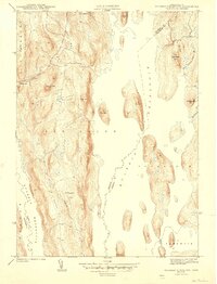
Editions of this 1944 Quabbin Reservoir Map
3 editions found
Other maps of this area

1887 · Warwick
USGS Topo · 1:62,500

1887 · Belchertown
USGS Topo · 1:62,500

1887 · Winchendon
USGS Topo · 1:62,500

1887 · Barre
USGS Topo · 1:62,500

1889 · Barre
USGS Topo · 1:62,500

1889 · Warwick
USGS Topo · 1:62,500

1890 · Belchertown
USGS Topo · 1:62,500

1890 · Winchendon
USGS Topo · 1:62,500

1893 · Belchertown
USGS Topo · 1:62,500

1894 · Winchendon
USGS Topo · 1:62,500