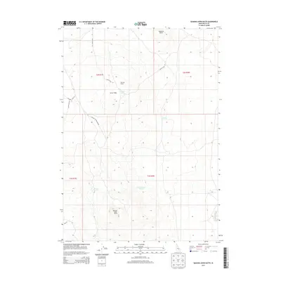
2013 Map of Quaking Aspen Butte
USGS Topo · Published 2013About this map
Quaking Aspen Butte stands as a prominent landmark in this high-desert landscape of Butte County, where water management is central to the land's utility. The 2013 topography reveals a network of man-made and natural catchments, including Quaking Aspen Reservoir, Parson Reservoir, and the remote W Side Reservoir. These features, alongside Tin Cup Lake, highlight the critical importance of water storage in an arid environment shaped by volcanic geology.
Find a feature on this map
17 named features on this map. Tap any name to fly to it.
Don’t see what you’re looking for? This feature index may not catch every label — zoom into the map to look around manually.
Map Details
Editions of this 2013 Quaking Aspen Butte Map
This is the sole edition of this map. No revisions or reprints were ever made.
Other maps of this area

1955 · Idaho Falls
USGS Topo · 1:250,000

1958 · Idaho Falls
USGS Topo · 1:250,000

1972 · Quaking Aspen Butte
USGS Topo · 1:24,000

1972 · Arco Hills SE
USGS Topo · 1:24,000

1972 · Big Southern Butte
USGS Topo · 1:24,000

1972 · Pratt Butte
USGS Topo · 1:24,000

1972 · Arco South
USGS Topo · 1:24,000

1972 · Butte City
USGS Topo · 1:24,000

1972 · Sunset Lake
USGS Topo · 1:24,000

1972 · Fingers Butte
USGS Topo · 1:24,000