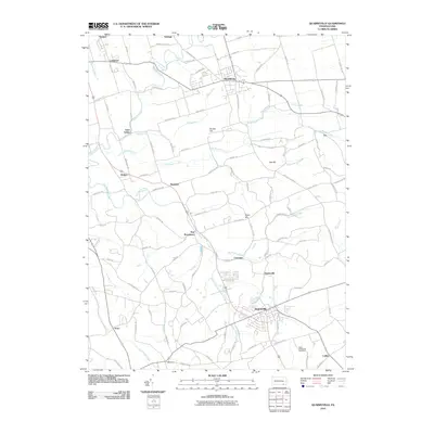
2010 Map of Quarryville
USGS Topo · Published 2010About this map
Quarryville anchors the southern portion of this Lancaster County landscape, where the agricultural traditions of the Pennsylvania Piedmont meet a network of small crossroads settlements. The terrain is defined by the winding paths of Pequea Creek and Big Beaver Creek, which drain a region dotted with historic hamlets such as Lampeter, Strasburg, and New Providence. Transportation routes like the Strasburg Pike and Penn Grant Rd follow the contours of the land, connecting scattered farmsteads and rural landmarks.
Find a feature on this map
97 named features on this map. Tap any name to fly to it.
Don’t see what you’re looking for? This feature index may not catch every label — zoom into the map to look around manually.
Map Details
Editions of this 2010 Quarryville Map
This is the sole edition of this map. No revisions or reprints were ever made.
Other maps of this area

1902 · Lancaster
USGS Topo · 1:62,500

1904 · Lancaster
USGS Topo · 1:62,500

1906 · New Holland
USGS Topo · 1:62,500

1908 · New Holland
USGS Topo · 1:62,500

1912 · Quarryville
USGS Topo · 1:62,500

1912 · Mc Calls Ferry
USGS Topo · 1:62,500

1941 · New Holland
USGS Topo · 1:62,500

1943 · Lancaster
USGS Topo · 1:62,500

1943 · Quarryville
USGS Topo · 1:62,500

1943 · Mc Calls Ferry
USGS Topo · 1:62,500
Featured Places
- West Lampeter Township, PA
- Willow Street, West Lampeter Township
- Paradise Township, PA
- Quarryville, PA
- Strasburg, PA