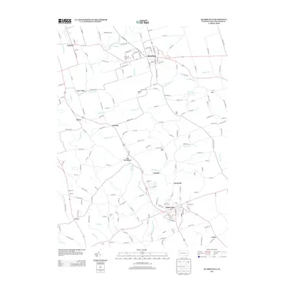
2013 Map of Quarryville
USGS Topo · Published 2013About this map
Quarryville serves as a focal point in this portion of Lancaster County, where the settlement pattern follows the drainage of the Big Beaver Cr and its tributaries. The landscape is defined by its transition from the structured street grids of Strasburg and Lampeter to the more dispersed hamlets of New Providence, Hessdale, and Camargo. These smaller communities often emerged at key road intersections or near water sources like Goff Run and Walnut Run.
Find a feature on this map
181 named features on this map. Tap any name to fly to it.
Don’t see what you’re looking for? This feature index may not catch every label — zoom into the map to look around manually.
Map Details
Editions of this 2013 Quarryville Map
This is the sole edition of this map. No revisions or reprints were ever made.
Other maps of this area

1902 · Lancaster
USGS Topo · 1:62,500

1904 · Lancaster
USGS Topo · 1:62,500

1906 · New Holland
USGS Topo · 1:62,500

1908 · New Holland
USGS Topo · 1:62,500

1912 · Quarryville
USGS Topo · 1:62,500

1912 · Mc Calls Ferry
USGS Topo · 1:62,500

1941 · New Holland
USGS Topo · 1:62,500

1943 · Lancaster
USGS Topo · 1:62,500

1943 · Quarryville
USGS Topo · 1:62,500

1943 · Mc Calls Ferry
USGS Topo · 1:62,500
Featured Places
- West Lampeter Township, PA
- Willow Street, West Lampeter Township
- Paradise Township, PA
- Quarryville, PA
- Strasburg, PA