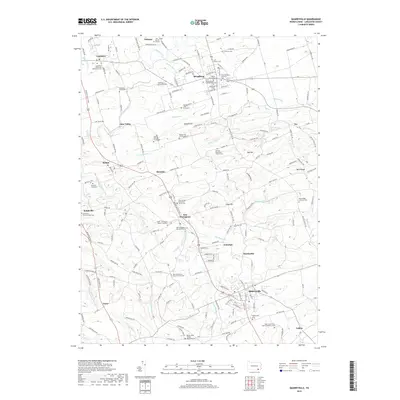
2019 Map of Quarryville
USGS Topo · Published 2019About this map
Strasburg and Quarryville anchor this detailed landscape of Lancaster County, where the historic Strasburg RR corridor reflects the deep roots of Pennsylvania's rail heritage. The region is densely populated with genealogical landmarks, from the Lefevre Cem and John Howery Cem in the north to the Quarryville Cem and Saint Catherine's Roman Catholic Cem in the south. Many family-named sites like the Brackbill - Neff Graveyard and Martin Family Graveyard suggest a long history of local settlement. The terrain transitions from the elevations of Bunker Hill and Oak Hill down to the winding waters of Pequea Creek and Big Beaver Creek. This survey details the complex network of rural roads and small hamlets like New Providence, Hessdale, and Refton, illustrating the persistent agricultural and small-town character of the area.
Find a feature on this map
150 named features on this map. Tap any name to fly to it.
Don’t see what you’re looking for? This feature index may not catch every label — zoom into the map to look around manually.
Map Details
Editions of this 2019 Quarryville Map
This is the sole edition of this map. No revisions or reprints were ever made.
Other maps of this area

1902 · Lancaster
USGS Topo · 1:62,500

1904 · Lancaster
USGS Topo · 1:62,500

1906 · New Holland
USGS Topo · 1:62,500

1908 · New Holland
USGS Topo · 1:62,500

1912 · Quarryville
USGS Topo · 1:62,500

1912 · Mc Calls Ferry
USGS Topo · 1:62,500

1941 · New Holland
USGS Topo · 1:62,500

1943 · Lancaster
USGS Topo · 1:62,500

1943 · Quarryville
USGS Topo · 1:62,500

1943 · Mc Calls Ferry
USGS Topo · 1:62,500
Featured Places
- West Lampeter Township, PA
- Willow Street, West Lampeter Township
- Paradise Township, PA
- Quarryville, PA
- Strasburg, PA