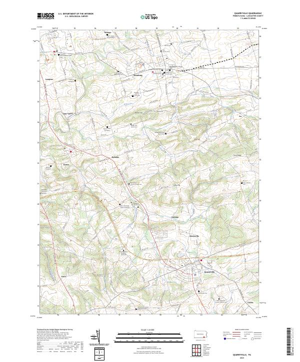
2023 Map of Quarryville
USGS Topo · Published 2023About this map
The rolling hills of southern Lancaster County are defined by deep-rooted agricultural communities and a high density of ancestral burial grounds. This modern topographic record reveals a landscape where historic boroughs like Strasburg and Quarryville anchor a network of smaller hamlets such as Hessdale and Lampeter. For the local historian, the map is remarkably dense with family and denominational landmarks, including the Tschantz Graveyard and the Bunker Hill Amish Cem.
Find a feature on this map
147 named features on this map. Tap any name to fly to it.
Don’t see what you’re looking for? This feature index may not catch every label — zoom into the map to look around manually.
Map Details
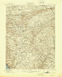
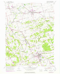
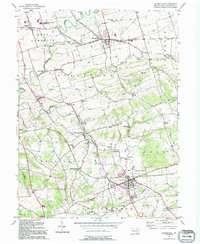
Editions of this 2023 Quarryville Map
This is the sole edition of this map. No revisions or reprints were ever made.
Historical Maps of Camargo Through Time
5 maps found

Featured Locations
- Paradise Township, PA
- West Lampeter Township, PA
- Quarryville, PA
- Strasburg, PA
- Willow Street, West Lampeter Township