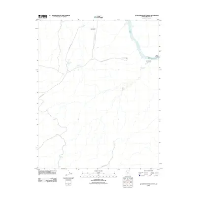
2011 Map of Quartermaster Canyon
USGS Topo · Published 2011About this map
Grand Canyon West Airport serves as a modern waypoint in this high-desert landscape of Mohave County, where the plateau abruptly drops away toward the Colorado River. The drainage patterns here are defined by deep cuts into the earth, most notably Quartermaster Canyon and Jeff Canyon. Vital water sources are scattered across the arid terrain in the form of livestock tanks and remote seeps, such as Quartermaster Springs and Granite Tank. Access to these isolated reaches is maintained through a network of unpaved tracks, including New Water Tank Rd and Jackson Tank Rd, which navigate the rises toward the Quartermaster View Point. This 2011 survey documents the infrastructure required to manage the vast rangelands and transportation needs of this portion of the Hualapai Reservation.
Find a feature on this map
19 named features on this map. Tap any name to fly to it.
Don’t see what you’re looking for? This feature index may not catch every label — zoom into the map to look around manually.
Map Details
Editions of this 2011 Quartermaster Canyon Map
This is the sole edition of this map. No revisions or reprints were ever made.
Other maps of this area

1886 · Diamond Creek
USGS Topo · 1:250,000

1886 · Mt. Trumbull
USGS Topo · 1:250,000

1892 · Diamond Creek
USGS Topo · 1:250,000

1892 · Mt. Trumbull
USGS Topo · 1:250,000

1948 · Williams
USGS Topo · 1:250,000

1953 · Grand Canyon
USGS Topo · 1:250,000

1954 · Williams
USGS Topo · 1:250,000

1956 · Williams
USGS Topo · 1:250,000

1957 · Grand Canyon
USGS Topo · 1:250,000

1958 · Grand Canyon
USGS Topo · 1:250,000