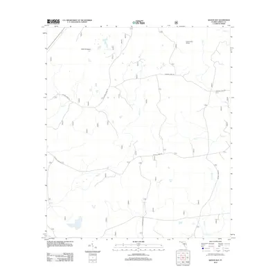
2012 Map of Queens Bay
USGS Topo · Published 2012About this map
Queens Bay and Low Bay anchor this low-lying landscape within the Florida Panhandle's forested interior. The terrain is defined by an intricate network of narrow waterways and drainage systems, including Bay Cr and Swift Br, which navigate the dense wetlands of Liberty County. This 2012 survey illustrates a region largely shaped by the management of the Apalachicola National Forest, where the only significant human imprints are the sprawling grid of National Forest Road corridors used for timber access and conservation.
Find a feature on this map
13 named features on this map. Tap any name to fly to it.
Don’t see what you’re looking for? This feature index may not catch every label — zoom into the map to look around manually.
Map Details
Editions of this 2012 Queens Bay Map
This is the sole edition of this map. No revisions or reprints were ever made.
Other maps of this area

1943 · Lake Talquin
USGS Topo · 1:62,500

1944 · Queens Bay
USGS Topo · 1:24,000

1945 · Thousand Yard Bay
USGS Topo · 1:31,680

1945 · Smith Creek
USGS Topo · 1:31,680

1945 · Woods
USGS Topo · 1:31,680

1945 · Telogia
USGS Topo · 1:24,000

1946 · Queens Bay
USGS Topo · 1:31,680

1946 · Sumatra
USGS Topo · 1:31,680

1946 · Telogia
USGS Topo · 1:31,680

1946 · Owens Bridge
USGS Topo · 1:31,680