
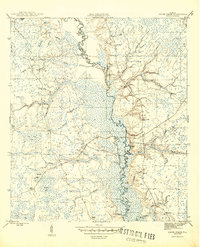
1945 Map of Smith Creek
USGS Topo · Published 1945About this map
The Ochlockonee River winds through the heart of the Apalachicola National Forest in this mid-1940s survey of the Florida panhandle. The map documents a river-centric landscape defined by its numerous named landings, such as Blazed Pine Landing and Big River Landing, which served as vital access points along the meandering waterway. These landings, coupled with timber-related outposts like Poplar Camp and East Camp, reflect the region's historical reliance on the river and forest for commerce and movement.
Find a feature on this map
45 named features on this map. Tap any name to fly to it.
Don’t see what you’re looking for? This feature index may not catch every label — zoom into the map to look around manually.
Map Details
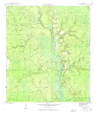
Editions of this 1945 Smith Creek Map
4 editions found

Other maps of this area

1943 · Lake Talquin
USGS Topo · 1:62,500

1944 · Queens Bay
USGS Topo · 1:24,000

1945 · Thousand Yard Bay
USGS Topo · 1:31,680

1945 · Bradwell Bay
USGS Topo · 1:31,680

1945 · Sanborn
USGS Topo · 1:31,680

1945 · Telogia
USGS Topo · 1:24,000

1946 · Queens Bay
USGS Topo · 1:31,680

1946 · Telogia
USGS Topo · 1:31,680

1946 · Owens Bridge
USGS Topo · 1:31,680

1954 · Tallahassee
USGS Topo · 1:250,000