
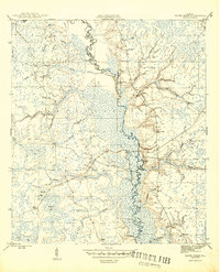
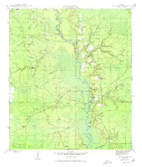
1945 Map of Smith Creek
USGS Topo · Published 1960About this map
The Ochlockonee River serves as the central artery through this swampy wilderness during the mid-1940s, defining the boundary between Wakulla Co and Liberty Co. This landscape is dominated by the Apalachicola National Forest, where the economy of the era is marked by remote outposts like East Camp and Poplar Camp. The river's winding course is punctuated by several historic landings, including Blazed Pine Landing and Big River Landing, which likely facilitated timber transport or local access in an era before extensive road networks.
Find a feature on this map
39 named features on this map. Tap any name to fly to it.
Don’t see what you’re looking for? This feature index may not catch every label — zoom into the map to look around manually.
Map Details
Editions of this 1945 Smith Creek Map
4 editions found
Other maps of this area

1943 · Lake Talquin
USGS Topo · 1:62,500

1944 · Queens Bay
USGS Topo · 1:24,000

1945 · Thousand Yard Bay
USGS Topo · 1:31,680

1945 · Smith Creek
USGS Topo · 1:31,680

1945 · Bradwell Bay
USGS Topo · 1:31,680

1945 · Sanborn
USGS Topo · 1:31,680

1945 · Telogia
USGS Topo · 1:24,000

1946 · Queens Bay
USGS Topo · 1:31,680

1946 · Telogia
USGS Topo · 1:31,680

1946 · Owens Bridge
USGS Topo · 1:31,680