
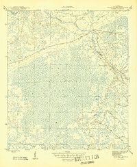
1945 Map of Bradwell Bay
USGS Topo · Published 1945About this map
Apalachicola National Forest encompasses the vast majority of this mid-1940s landscape, illustrating a period of conserved wilderness in Wakulla County. The terrain is dominated by the dense wetlands of Bradwell Bay, a feature that defines the central geography of the quadrangle. Hydrology plays a critical role in the area's layout, with the Sopchoppy River winding through the northeastern corner and Monkey Creek draining the southern portions of the forest. The map reveals the intricate network of land lines and section markers within the swampy interior, providing a clear record of how this protected Florida landscape was surveyed and managed during the final years of the Second World War. This survey is particularly useful for understanding the natural drainage patterns and the specific boundaries of the national forest before later 20th-century developments.
Find a feature on this map
4 named features on this map. Tap any name to fly to it.
Don’t see what you’re looking for? This feature index may not catch every label — zoom into the map to look around manually.
Map Details
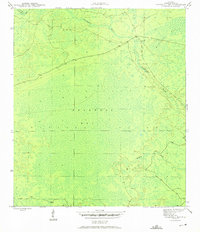
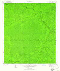
Editions of this 1945 Bradwell Bay Map
4 editions found
Other maps of this area

1940 · Tallahassee
USGS Topo · 1:62,500

1940 · Arran
USGS Topo · 1:62,500

1942 · Tallahassee
USGS Topo · 1:62,500

1943 · Arran
USGS Topo · 1:62,500

1943 · Tallahassee
USGS Topo · 1:62,500

1943 · Lake Talquin
USGS Topo · 1:62,500

1945 · Thousand Yard Bay
USGS Topo · 1:31,680

1945 · Smith Creek
USGS Topo · 1:31,680

1945 · Sanborn
USGS Topo · 1:31,680

1954 · Tallahassee
USGS Topo · 1:250,000