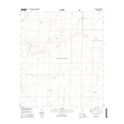
2015 Map of Queens Bay
USGS Topo · Published 2015About this map
The Apalachicola National Forest dominates this section of Liberty County, revealing a landscape defined by complex hydrology and protected woodlands. Numerous watercourses, including Tiger Cr and Bay Cr, weave through the terrain, feeding into unique features like the eponymous Queens Bay. This 2015 survey illustrates how the environment is managed for both preservation and recreation, with the Florida National Scenic Trail traversing the northern half of the quadrangle. Distinctive landforms such as the Black Cat Islands and Indian Creek Islands emerge from the wetlands, providing specific points of reference within the forest. The mapping of various National Forest Rd segments highlights the infrastructure supporting timber management and backcountry access, while the township and range lines of t3s r6w and t4s r6w provide the underlying cadastral framework for the region.
Find a feature on this map
18 named features on this map. Tap any name to fly to it.
Don’t see what you’re looking for? This feature index may not catch every label — zoom into the map to look around manually.
Map Details
Editions of this 2015 Queens Bay Map
This is the sole edition of this map. No revisions or reprints were ever made.
Other maps of this area

1943 · Lake Talquin
USGS Topo · 1:62,500

1944 · Queens Bay
USGS Topo · 1:24,000

1945 · Thousand Yard Bay
USGS Topo · 1:31,680

1945 · Smith Creek
USGS Topo · 1:31,680

1945 · Woods
USGS Topo · 1:31,680

1945 · Telogia
USGS Topo · 1:24,000

1946 · Queens Bay
USGS Topo · 1:31,680

1946 · Sumatra
USGS Topo · 1:31,680

1946 · Telogia
USGS Topo · 1:31,680

1946 · Owens Bridge
USGS Topo · 1:31,680