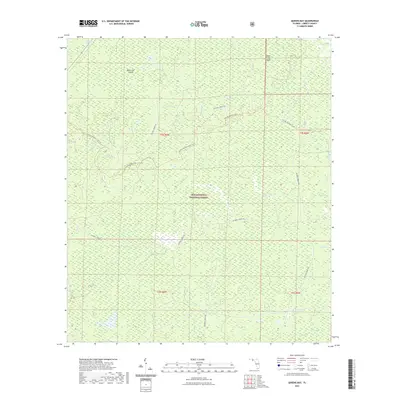
2021 Map of Queens Bay
USGS Topo · Published 2021About this map
Apalachicola National Forest dominates this landscape in Liberty County, Florida, characterized by a complex network of wetlands and seasonal water bodies. The terrain is defined by numerous shallow depressions known as bays, including Queens Bay, Washington Bay, and Tin Top Bay, which are interspersed among dense swampy areas like Saplin Head Swamp. These ecological features indicate a low-lying environment where subtle changes in elevation create distinct habitats such as the Black Cat Islands and Indian Creek Islands.
Find a feature on this map
23 named features on this map. Tap any name to fly to it.
Don’t see what you’re looking for? This feature index may not catch every label — zoom into the map to look around manually.
Map Details
Editions of this 2021 Queens Bay Map
This is the sole edition of this map. No revisions or reprints were ever made.
Other maps of this area

1943 · Lake Talquin
USGS Topo · 1:62,500

1944 · Queens Bay
USGS Topo · 1:24,000

1945 · Thousand Yard Bay
USGS Topo · 1:31,680

1945 · Smith Creek
USGS Topo · 1:31,680

1945 · Woods
USGS Topo · 1:31,680

1945 · Telogia
USGS Topo · 1:24,000

1946 · Queens Bay
USGS Topo · 1:31,680

1946 · Sumatra
USGS Topo · 1:31,680

1946 · Telogia
USGS Topo · 1:31,680

1946 · Owens Bridge
USGS Topo · 1:31,680