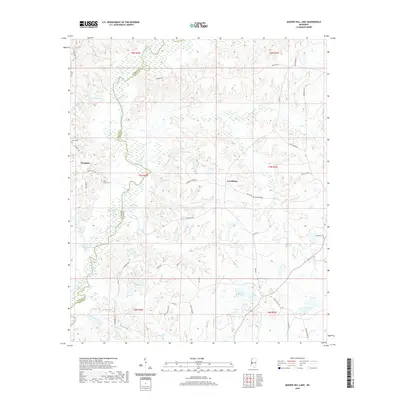
2020 Map of Queens Hill Lake
USGS Topo · Published 2020About this map
Lynchburg and Youngton sit within a landscape defined by the winding course of the Big Black River, which forms the western boundary of this Hinds County region. The terrain is characterized by a high density of named water bodies and drainage basins, including Queens Hill Lake, Gillespie Lake, and the oxbow-shaped Horseshoe Lake. Genealogists will find several family-linked burial sites, such as Harris Cem, Henry-Grant Cem, and Birdsong Cem, scattered among the rural road networks. A curious historical remnant appears in the form of Narrow Gauge Rd, suggesting an era of specialized local transport that once served the area's agrarian or industrial needs. The drainage patterns of Porter Creek and Messenger Cr further illustrate the intricate hydrology of the bottomlands near the Warren and Hinds county line.
Find a feature on this map
56 named features on this map. Tap any name to fly to it.
Don’t see what you’re looking for? This feature index may not catch every label — zoom into the map to look around manually.
Map Details
Editions of this 2020 Queens Hill Lake Map
This is the sole edition of this map. No revisions or reprints were ever made.
Other maps of this area

1903 · Jackson
USGS Topo · 1:125,000

1934 · Raymond
USGS Topo · 1:48,000

1937 · Raymond
USGS Topo · 1:62,500

1938 · Edwards
USGS Topo · 1:62,500

1940 · Mechanicsburg
USGS Topo · 1:62,500

1942 · Raymond
USGS Topo · 1:62,500

1955 · Jackson
USGS Topo · 1:250,000

1961 · Jackson
USGS Topo · 1:250,000

1962 · Jackson
USGS Topo · 1:250,000

1962 · Flora
USGS Topo · 1:62,500