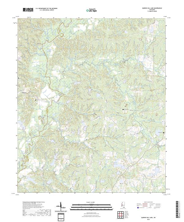
2024 Map of Queens Hill Lake
USGS Topo · Published 2024About this map
The Big Black River snakes along the boundary between Warren and Hinds Counties, defining a landscape of complex wetlands and oxbow formations. In this river-defined terrain, historic crossings like Bushs Ferry and Birdsong Ferry once linked the rural communities and plantations on either side of the waterway. The settlement of Youngton serves as a small upland anchor near the western edge, surrounded by a network of family cemeteries that speak to the long-standing agricultural roots of the area.
Find a feature on this map
57 named features on this map. Tap any name to fly to it.
Don’t see what you’re looking for? This feature index may not catch every label — zoom into the map to look around manually.
Map Details
Editions of this 2024 Queens Hill Lake Map
This is the sole edition of this map. No revisions or reprints were ever made.
Other maps of this area

1903 · Jackson
USGS Topo · 1:125,000

1934 · Raymond
USGS Topo · 1:48,000

1937 · Raymond
USGS Topo · 1:62,500

1938 · Edwards
USGS Topo · 1:62,500

1940 · Mechanicsburg
USGS Topo · 1:62,500

1942 · Raymond
USGS Topo · 1:62,500

1955 · Jackson
USGS Topo · 1:250,000

1961 · Jackson
USGS Topo · 1:250,000

1962 · Jackson
USGS Topo · 1:250,000

1962 · Flora
USGS Topo · 1:62,500