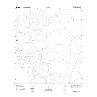
2012 Map of Quemado East
USGS Topo · Published 2012About this map
The Rio Grande serves as the primary geographical anchor for this section of Maverick County, shaping the local agricultural landscape and infrastructure. Near the river, the settlement of Normandy and the outskirts of Quemado are interconnected by a network of farm-to-market roads, including FM-1665 and FM-1908. The region's reliance on water management is evident through features like the Maverick Irrigation District Canal and Ditch Number Fifteen, which provide essential water to the arid terrain. Local history and family roots can be traced through sites such as the Valley Cem and the naming of topographical landmarks like Cañon Grande and Cañon Chiquita. This map reflects the structured rural economy of the early 21st century, where large-scale irrigation and cattle-related water sources like Parra Tank define the utility of the land.
Find a feature on this map
33 named features on this map. Tap any name to fly to it.
Don’t see what you’re looking for? This feature index may not catch every label — zoom into the map to look around manually.
Map Details
Editions of this 2012 Quemado East Map
This is the sole edition of this map. No revisions or reprints were ever made.
Other maps of this area

1896 · Brackett
USGS Topo · 1:125,000

1897 · Brackett
USGS Topo · 1:125,000

1940 · Paloma
USGS Topo · 1:62,500

1940 · Quemado
USGS Topo · 1:62,500

1941 · Tequesquite Creek
USGS Topo · 1:62,500

1944 · Tequesquite Creek
USGS Topo · 1:62,500

1944 · Spofford
USGS Topo · 1:62,500

1958 · Eagle Pass
USGS Topo · 1:250,000

1958 · Del Rio
USGS Topo · 1:250,000

1964 · Del Rio
USGS Topo · 1:250,000