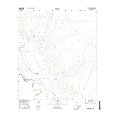
2016 Map of Quemado East
USGS Topo · Published 2016About this map
The Rio Grande forms the international boundary between the United States of America and Estados Unidos Mexicanos at the southwestern edge of this Maverick County landscape. Life here is oriented around the water and the roads, with the settlement of Normandy positioned near the fertile river bottomlands. Irrigation and water management are evident through features like Ditch Number Fifteen and the Parra Tank, supporting agricultural activity in an arid environment.
Find a feature on this map
32 named features on this map. Tap any name to fly to it.
Don’t see what you’re looking for? This feature index may not catch every label — zoom into the map to look around manually.
Map Details
Editions of this 2016 Quemado East Map
This is the sole edition of this map. No revisions or reprints were ever made.
Other maps of this area
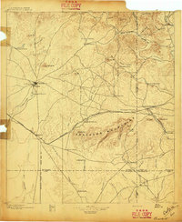
1896 · Brackett
USGS Topo · 1:125,000
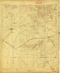
1897 · Brackett
USGS Topo · 1:125,000
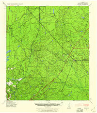
1940 · Paloma
USGS Topo · 1:62,500
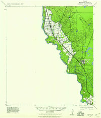
1940 · Quemado
USGS Topo · 1:62,500
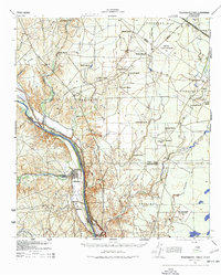
1941 · Tequesquite Creek
USGS Topo · 1:62,500
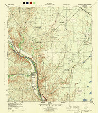
1944 · Tequesquite Creek
USGS Topo · 1:62,500
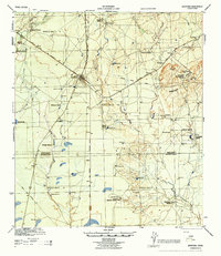
1944 · Spofford
USGS Topo · 1:62,500
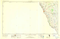
1958 · Eagle Pass
USGS Topo · 1:250,000
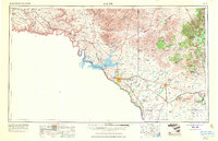
1958 · Del Rio
USGS Topo · 1:250,000
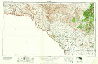
1964 · Del Rio
USGS Topo · 1:250,000