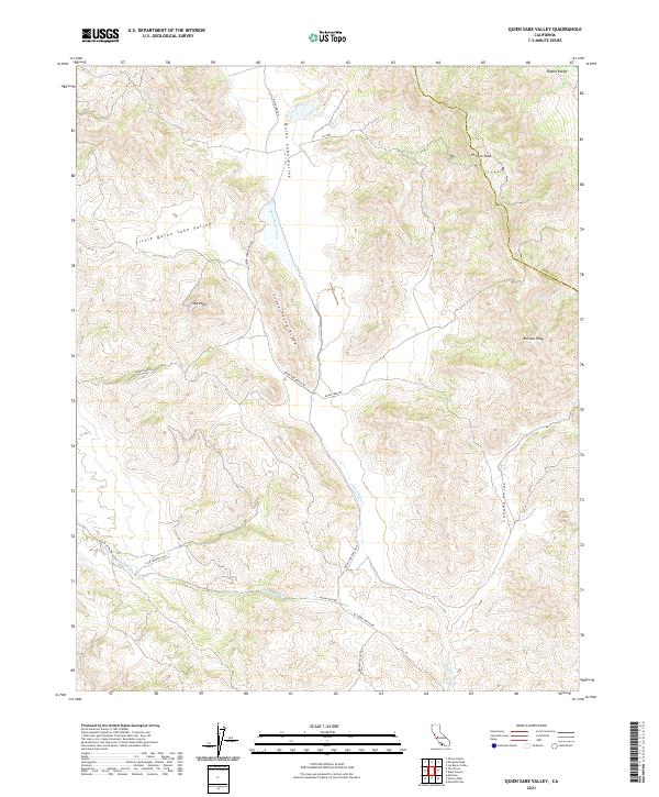
2021 Map of Quien Sabe Valley
USGS Topo · Published 2021About this map
Quien Sabe Valley and its smaller counterpart, Little Quien Sabe Valley, define this remote interior section of the Diablo Range in San Benito County. This 2021 landscape is dominated by the drainage system of Quien Sabe Creek, which flows through a complex topography of ridges and peaks. Notable landmarks include Potrero Peak in the north and the prominent Schoolhouse Ridge, the name of which suggests the historical importance of local education in this rural ranching district. The map documents the boundary where Merced and San Benito counties meet, while various thoroughfares like Quien Sabe Ranch Rd and Mc Creery Ranch Rd trace the valley floors. These roads and named features like Cibo Peak and Reinoso Peak provide a clear picture of contemporary land use and topographic character in this high-country region.
Find a feature on this map
24 named features on this map. Tap any name to fly to it.
Don’t see what you’re looking for? This feature index may not catch every label — zoom into the map to look around manually.
Map Details
Editions of this 2021 Quien Sabe Valley Map
This is the sole edition of this map. No revisions or reprints were ever made.
Other maps of this area

1919 · San Benito
USGS Topo · 1:62,500

1919 · Hollister
USGS Topo · 1:48,000

1921 · Gonzales
USGS Topo · 1:62,500

1921 · Hollister
USGS Topo · 1:62,500

1922 · Quien Sabe
USGS Topo · 1:62,500

1923 · Hollister
USGS Topo · 1:62,500

1931 · San Benito
USGS Topo · 1:62,500

1940 · Hollister
USGS Topo · 1:62,500

1940 · Quien Sabe
USGS Topo · 1:62,500

1940 · San Benito
USGS Topo · 1:62,500