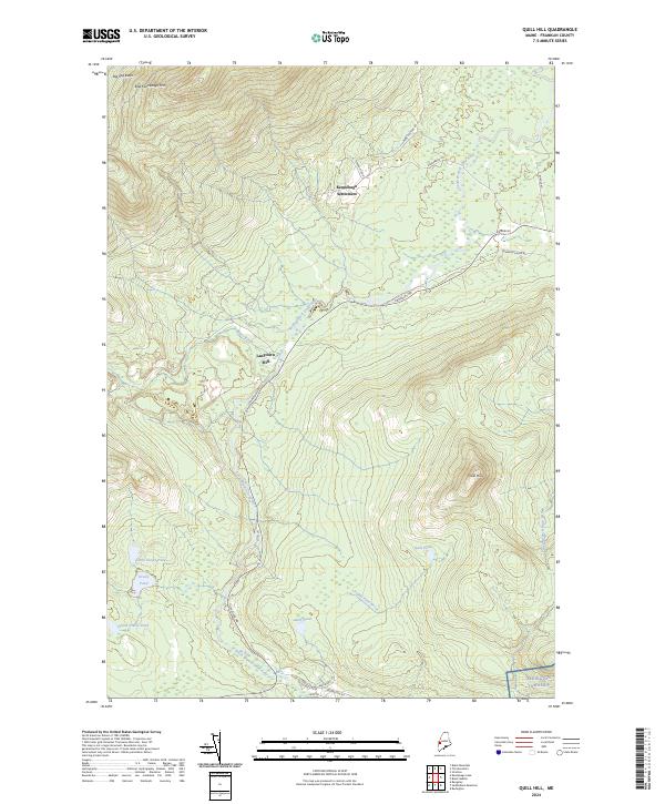
2024 Map of Quill Hill
USGS Topo · Published 2024About this map
Kennebago Settlement and Langtown Mill anchor this part of Franklin County, where the South Branch Dead River carves through the highland terrain. The map details a landscape defined by timber and transit history, evidenced by the presence of Narrow Gauge Rd and the winding course of Stratton Rd. High points like East Kennebago Mtn and Quill Hill overlook a network of isolated water bodies, including Dill Pond, Quill Pond, and the Greely Pond group. To the south, the boundary of Redington Township meets the valley floor near Old State Rte 16, reflecting the historical corridor through which trade and travel moved between these upland communities and the river systems. The transition from the Big Sag Basin in the northwest to the intricate drainages of Quill Pond Brook showcases the complex hydrology of this interior Maine region.
Find a feature on this map
27 named features on this map. Tap any name to fly to it.
Don’t see what you’re looking for? This feature index may not catch every label — zoom into the map to look around manually.
Map Details
Editions of this 2024 Quill Hill Map
This is the sole edition of this map. No revisions or reprints were ever made.
Other maps of this area

1928 · Stratton
USGS Topo · 1:48,000

1929 · Phillips
USGS Topo · 1:48,000

1932 · Phillips
USGS Topo · 1:62,500

1932 · Stratton
USGS Topo · 1:62,500

1932 · Kennebago Lake
USGS Topo · 1:48,000

1933 · Rangeley
USGS Topo · 1:48,000

1935 · Kennebago Lake
USGS Topo · 1:62,500

1936 · Kennebago Lake
USGS Topo · 1:62,500

1939 · Rangeley
USGS Topo · 1:62,500

1949 · Jackman
USGS Topo · 1:250,000
Featured Places
- Dallas Plantation, ME
- Coplin Plantation, ME
- Redington Township, ME
- Lang Township, ME
- Tim Pond Township, ME