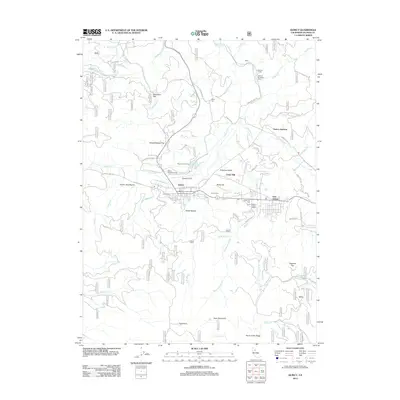
2012 Map of Quincy
USGS Topo · Published 2012About this map
American Valley serves as the central geographic basin for this 2012 study, which documents the established community of Quincy and its neighboring settlements. The landscape transitions from the developed grid of the town center to the surrounding timberlands of the Sierra, marked by numerous forest service roads like Howells Logging Rd and Oakland Camp Rd. Significant local infrastructure is noted, including the Quincy District Ranger Office and industrial sites such as Cedar Mill.
Find a feature on this map
105 named features on this map. Tap any name to fly to it.
Don’t see what you’re looking for? This feature index may not catch every label — zoom into the map to look around manually.
Map Details
Editions of this 2012 Quincy Map
This is the sole edition of this map. No revisions or reprints were ever made.
Other maps of this area

1886 · Honey Lake
USGS Topo · 1:250,000

1886 · Lassen Peak
USGS Topo · 1:250,000

1888 · Bidwell Bar
USGS Topo · 1:125,000

1891 · Bidwell Bar
USGS Topo · 1:125,000

1891 · Downieville
USGS Topo · 1:125,000

1891 · Honey Lake
USGS Topo · 1:250,000

1892 · Lassen Peak
USGS Topo · 1:250,000

1893 · Bidwell Bar
USGS Topo · 1:125,000

1893 · Honey Lake
USGS Topo · 1:250,000

1893 · Downieville
USGS Topo · 1:125,000