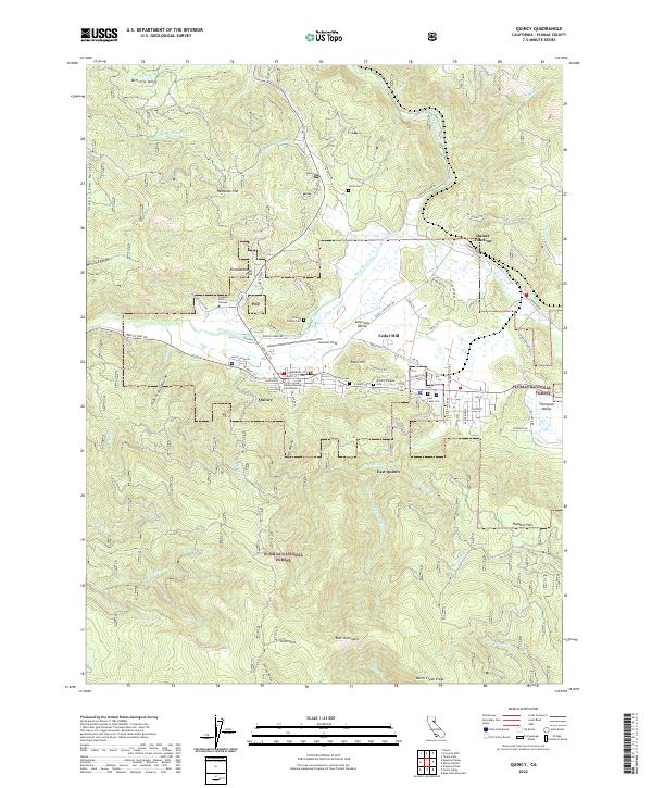
2022 Map of Quincy
USGS Topo · Published 2022About this map
Quincy and East Quincy serve as the central hubs in this corner of the Plumas National Forest, where the topography is defined by the broad American Valley and the waters of Spanish Creek. The map details a landscape shaped by both governance and industry, anchored by the Plumas County Courthouse and the local Cedar Mill. Genealogical interest is particularly high here, with several distinct burial grounds noted, including the Stiver Cem and the Quincy Chinese Cem, providing evidence of the diverse community history in the region. Settlement patterns follow the valley floor, from the academic grounds of Feather River College to smaller locales like Newtown Flat and Elizabethtown Flat. To the northeast, Quincy Junction marks a historical point of connection, while the surrounding terrain is etched with numerous ravines such as Boyle Ravine and Dublin Jack Ravine.
Find a feature on this map
98 named features on this map. Tap any name to fly to it.
Don’t see what you’re looking for? This feature index may not catch every label — zoom into the map to look around manually.
Map Details
Editions of this 2022 Quincy Map
This is the sole edition of this map. No revisions or reprints were ever made.
Other maps of this area

1886 · Honey Lake
USGS Topo · 1:250,000

1886 · Lassen Peak
USGS Topo · 1:250,000

1888 · Bidwell Bar
USGS Topo · 1:125,000

1891 · Bidwell Bar
USGS Topo · 1:125,000

1891 · Downieville
USGS Topo · 1:125,000

1891 · Honey Lake
USGS Topo · 1:250,000

1892 · Lassen Peak
USGS Topo · 1:250,000

1893 · Bidwell Bar
USGS Topo · 1:125,000

1893 · Honey Lake
USGS Topo · 1:250,000

1893 · Downieville
USGS Topo · 1:125,000