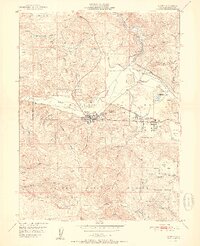
1951 Map of Quincy
USGS Topo · Published 1951About this map
Quincy serves as the focal point of this 1950s study, situated in the fertile American Valley surrounded by the timbered heights of the Plumas National Forest. The local economy is clearly defined by its industrial and transportation infrastructure, including a prominent sawmill, Gansner Airport, and the Western Pacific Railroad winding through the valley floor toward Quincy Junction. To the east, East Quincy shows established residential patterns near the Pioneer Sch and County Fairground.
Find a feature on this map
70 named features on this map. Tap any name to fly to it.
Don’t see what you’re looking for? This feature index may not catch every label — zoom into the map to look around manually.
Map Details
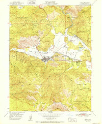
Editions of this 1951 Quincy Map
2 editions found
Other maps of this area

1886 · Honey Lake
USGS Topo · 1:250,000

1886 · Lassen Peak
USGS Topo · 1:250,000

1888 · Bidwell Bar
USGS Topo · 1:125,000

1891 · Bidwell Bar
USGS Topo · 1:125,000

1891 · Downieville
USGS Topo · 1:125,000

1891 · Honey Lake
USGS Topo · 1:250,000

1892 · Lassen Peak
USGS Topo · 1:250,000

1893 · Bidwell Bar
USGS Topo · 1:125,000

1893 · Honey Lake
USGS Topo · 1:250,000

1893 · Downieville
USGS Topo · 1:125,000