Loading...
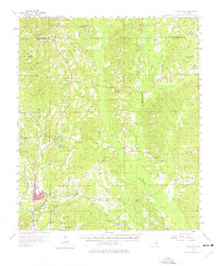
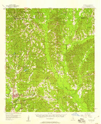
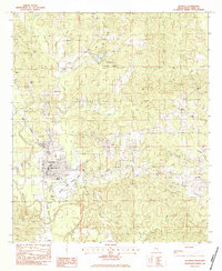
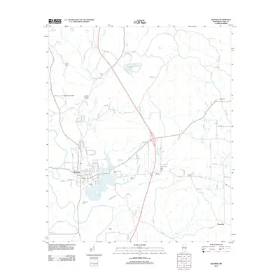
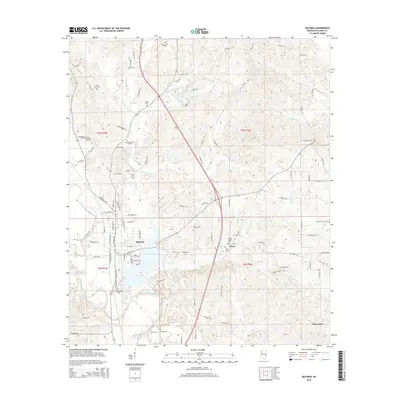
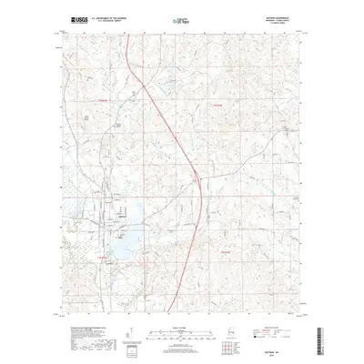
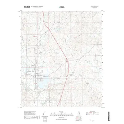
Loading map...1957 Map of Quitman
USGS Topo · Published 1977About this map
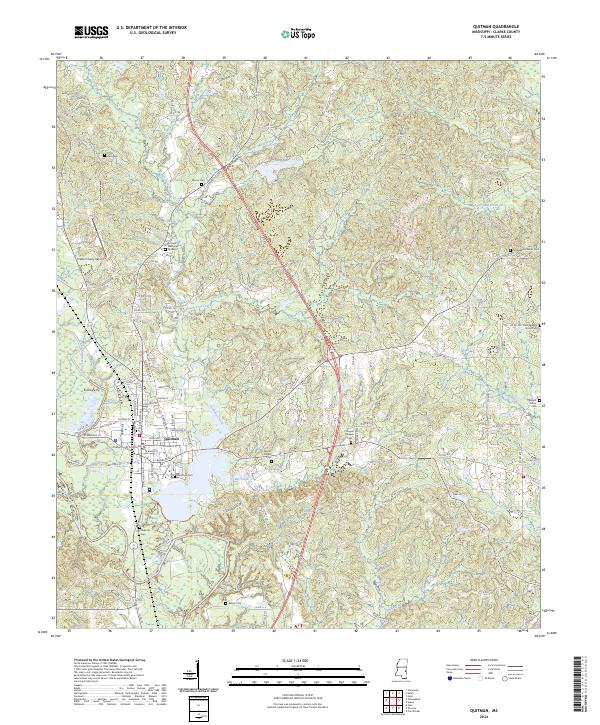
The Chickasawhay River and the Gulf Mobile and Ohio railroad corridor anchor the development of this landscape in eastern Mississippi. The county seat of Quitman serves as the primary hub, characterized by its grid of streets and significant landmarks like the Quitman Lookout Tower and Archusa Springs. Just to the north, the established grounds of Clarkco State Park offer a glimpse into early state-managed conservation efforts amidst the rolling hills of the Piney Woods.
Find a feature on this map
75 named features on this map. Tap any name to fly to it.
Don’t see what you’re looking for? This feature index may not catch every label — zoom into the map to look around manually.
Map Details
Date Portrayed1957
Date Published1977
PublisherU.S. Geological Survey
Map TypeTopographic
Scale1:62,500
Physical Dimensions18 x 21.9 inches
Editions of this 1957 Quitman Map
2 editions found
Historical Maps of Quitman Through Time
7 maps found
Featured Locations
Source Details
SourceU.S. Geological Survey
CopyrightPublic Domain