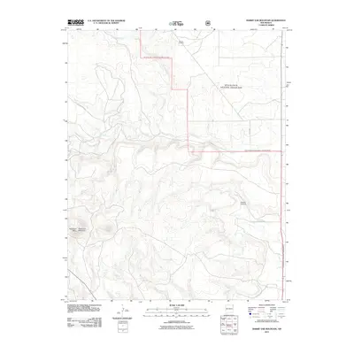
2011 Map of Rabbit Ear Mountain
USGS Topo · Published 2011About this map
Wanette Cemetery sits in the northern reaches of this high plains landscape, a point of interest for genealogists tracing early families in Union County. Much of the eastern and northern terrain is defined by the Rita Blanca National Grassland, where the open shortgrass prairie is cut by the drainage networks of Alamos Creek and Seneca Creek. To the west, the prominent volcanic landmarks of Rabbit Ear Mountain and Rabbit Ear Mesa rise above the surrounding flats, serving as historical navigational beacons in this corner of New Mexico. The map details a network of rural routes, including County Rd A074 and Co Rd A080, which connect isolated homesteads and ranch lands across the breaks of Goodin Canyon.
Find a feature on this map
9 named features on this map. Tap any name to fly to it.
Don’t see what you’re looking for? This feature index may not catch every label — zoom into the map to look around manually.
Map Details
Editions of this 2011 Rabbit Ear Mountain Map
This is the sole edition of this map. No revisions or reprints were ever made.
Other maps of this area

1954 · Dalhart
USGS Topo · 1:250,000

1958 · Dalhart
USGS Topo · 1:250,000

1962 · Dalhart
USGS Topo · 1:250,000

1966 · Royce
USGS Topo · 1:24,000

1970 · Clayton
USGS Topo · 1:24,000

1970 · Texline North
USGS Topo · 1:24,000

1972 · Seneca
USGS Topo · 1:24,000

1972 · Mc Laughlin Bridge
USGS Topo · 1:24,000

1972 · Bible Top Butte
USGS Topo · 1:24,000

1972 · Rardin Hill
USGS Topo · 1:24,000