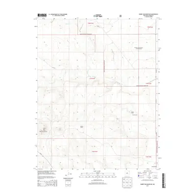
2013 Map of Rabbit Ear Mountain
USGS Topo · Published 2013About this map
Rabbit Ear Mountain and the adjacent Rabbit Ear Mesa dominate this northeastern corner of New Mexico, where the high plains meet volcanic landmarks. Much of the territory is managed as part of the Kiowa National Grassland, a landscape defined by its arroyos and canyons. Watercourses like Alamos Cr and Seneca Cr have carved distinct drainage patterns through the terrain, notably at Goodin Canyon and Goodin Draw. Evidence of early settlement remains in the presence of the Wanette Cem in the northern section of the township. Modern infrastructure is limited to a few arterial routes such as State Rte 18 and Erlund Rd, which traverse the open range and leading toward the Apache Valley in the southeast.
Find a feature on this map
19 named features on this map. Tap any name to fly to it.
Don’t see what you’re looking for? This feature index may not catch every label — zoom into the map to look around manually.
Map Details
Editions of this 2013 Rabbit Ear Mountain Map
This is the sole edition of this map. No revisions or reprints were ever made.
Other maps of this area

1954 · Dalhart
USGS Topo · 1:250,000

1958 · Dalhart
USGS Topo · 1:250,000

1962 · Dalhart
USGS Topo · 1:250,000

1966 · Royce
USGS Topo · 1:24,000

1970 · Clayton
USGS Topo · 1:24,000

1970 · Texline North
USGS Topo · 1:24,000

1972 · Seneca
USGS Topo · 1:24,000

1972 · Mc Laughlin Bridge
USGS Topo · 1:24,000

1972 · Bible Top Butte
USGS Topo · 1:24,000

1972 · Rardin Hill
USGS Topo · 1:24,000