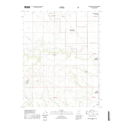
2020 Map of Rabbit Ear Mountain
USGS Topo · Published 2020About this map
Kiowa National Grassland dominates this corner of Union County, preserving a landscape where the High Plains transition into volcanic landforms. The namesake double peaks of Rabbit Ear Mtn and the adjacent Rabbit Ear Mesa stand as prominent landmarks in the southwestern portion of the map, once serving as vital navigational markers for travelers on the Cimarron Cutoff of the Santa Fe Trail. The drainage patterns of Seneca Cr and Alamos Cr carve through the grassland, leading toward the Goodin Canyon and Goodin Draw systems. Genealogical interest centers on the Wanette Cem in the north, a solitary record of early 20th-century settlement efforts in this arid environment, while the presence of Apache Valley in the southeast hints at the longer human history of the region's topographical depressions.
Find a feature on this map
19 named features on this map. Tap any name to fly to it.
Don’t see what you’re looking for? This feature index may not catch every label — zoom into the map to look around manually.
Map Details
Editions of this 2020 Rabbit Ear Mountain Map
This is the sole edition of this map. No revisions or reprints were ever made.
Other maps of this area

1954 · Dalhart
USGS Topo · 1:250,000

1958 · Dalhart
USGS Topo · 1:250,000

1962 · Dalhart
USGS Topo · 1:250,000

1966 · Royce
USGS Topo · 1:24,000

1970 · Clayton
USGS Topo · 1:24,000

1970 · Texline North
USGS Topo · 1:24,000

1972 · Seneca
USGS Topo · 1:24,000

1972 · Mc Laughlin Bridge
USGS Topo · 1:24,000

1972 · Bible Top Butte
USGS Topo · 1:24,000

1972 · Rardin Hill
USGS Topo · 1:24,000