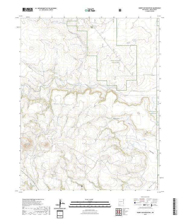
2023 Map of Rabbit Ear Mountain
USGS Topo · Published 2023About this map
Rabbit Ear Mtn and Rabbit Ear Mesa dominate the skyline of this high plains landscape in Union County. The terrain is defined by dramatic elevation changes, where the plateau drops into Goodin Canyon and the broad Apache Valley to the southeast. These natural landmarks served as vital navigational markers on the historic Cimarron Cutoff of the Santa Fe Trail, though this modern topographic perspective focuses on the current management of the Kiowa National Grassland.
Find a feature on this map
21 named features on this map. Tap any name to fly to it.
Don’t see what you’re looking for? This feature index may not catch every label — zoom into the map to look around manually.
Map Details
Editions of this 2023 Rabbit Ear Mountain Map
This is the sole edition of this map. No revisions or reprints were ever made.
Other maps of this area

1954 · Dalhart
USGS Topo · 1:250,000

1958 · Dalhart
USGS Topo · 1:250,000

1962 · Dalhart
USGS Topo · 1:250,000

1966 · Royce
USGS Topo · 1:24,000

1970 · Clayton
USGS Topo · 1:24,000

1970 · Texline North
USGS Topo · 1:24,000

1972 · Seneca
USGS Topo · 1:24,000

1972 · Mc Laughlin Bridge
USGS Topo · 1:24,000

1972 · Bible Top Butte
USGS Topo · 1:24,000

1972 · Rardin Hill
USGS Topo · 1:24,000