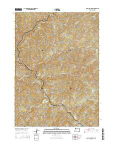
2014 Map of Rabbit Mountain
USGS Topo · Published 2014About this map
Cow Creek carves a deep, winding path through this corner of Douglas County, serving as the central drainage for a complex network of steep drainages. In the early 21st century, the landscape is defined by its dramatic relief, anchored by the prominent peak of Rabbit Mountain. A series of naming conventions suggests a history of livestock and local wildlife, seen in features like Cattle Cr, Stanchion Cr, and Hare Cr.
Find a feature on this map
34 named features on this map. Tap any name to fly to it.
Don’t see what you’re looking for? This feature index may not catch every label — zoom into the map to look around manually.
Map Details
Editions of this 2014 Rabbit Mountain Map
This is the sole edition of this map. No revisions or reprints were ever made.
Other maps of this area

1904 · Riddle
USGS Topo · 1:125,000

1946 · Galice
USGS Topo · 1:62,500

1946 · Dutchman Butte
USGS Topo · 1:62,500

1948 · Galice
USGS Topo · 1:62,500

1948 · Dutchman Butte
USGS Topo · 1:62,500

1954 · Glendale
USGS Topo · 1:62,500

1954 · Canyonville
USGS Topo · 1:62,500

1955 · Medford
USGS Topo · 1:250,000

1957 · Medford
USGS Topo · 1:250,000

1958 · Medford
USGS Topo · 1:250,000