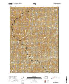
2020 Map of Rabbit Mountain
USGS Topo · Published 2020About this map
Cow Creek and its many tributaries, including Starichon Cr and Susan Cr, dominate this Douglas County landscape. The area is defined by a dense network of forest and access roads that follow the winding drainage patterns of the Southern Oregon terrain. Landmarks such as Rabbit Mtn and Sledge Rdg provide significant elevation, while deep incisions like Cedar Gulch and Benson Gulch break the ridgelines. The mapping of infrastructure like the Audie Ck Mainline and the Brandt Crossing Sp reflects the region's managed timber and transit history. This recent survey captures the modern road names that provide access to these remote drainages, such as Dutch Henry Rd and Comearound Rd, preserving the contemporary nomenclature of this drainage basin.
Find a feature on this map
81 named features on this map. Tap any name to fly to it.
Don’t see what you’re looking for? This feature index may not catch every label — zoom into the map to look around manually.
Map Details
Editions of this 2020 Rabbit Mountain Map
This is the sole edition of this map. No revisions or reprints were ever made.
Other maps of this area

1904 · Riddle
USGS Topo · 1:125,000

1946 · Galice
USGS Topo · 1:62,500

1946 · Dutchman Butte
USGS Topo · 1:62,500

1948 · Galice
USGS Topo · 1:62,500

1948 · Dutchman Butte
USGS Topo · 1:62,500

1954 · Glendale
USGS Topo · 1:62,500

1954 · Canyonville
USGS Topo · 1:62,500

1955 · Medford
USGS Topo · 1:250,000

1957 · Medford
USGS Topo · 1:250,000

1958 · Medford
USGS Topo · 1:250,000