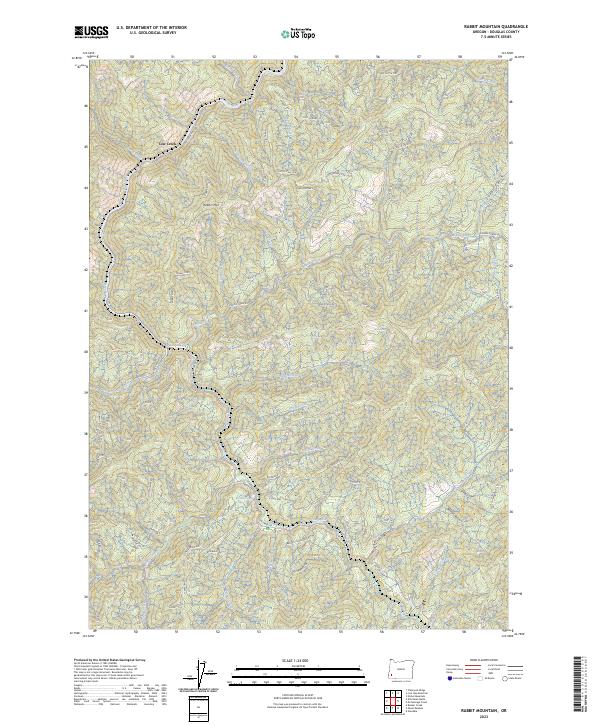
2023 Map of Rabbit Mountain
USGS Topo · Published 2023About this map
Rabbit Mtn and the surrounding timberlands of Douglas County define this landscape of the Pacific Northwest. This 2023 survey records the complex drainage system of Cow Creek, featuring numerous tributaries like Knupp Creek, Susan Creek, and Union Creek. The map documents a dense network of logging and access routes, including Cow Creek Rd, Middle Creek Rd, and the uniquely named Comearound Rd. Topographical features such as Sledge Rdg and Tough Cow emphasize the steep, dissected nature of the terrain. Strategic springs and crossings, such as Brandt Crossing Sp and Dead Boomer Spr, provide points of interest for those tracking the history of forest management and early backcountry navigation in the region.
Find a feature on this map
99 named features on this map. Tap any name to fly to it.
Don’t see what you’re looking for? This feature index may not catch every label — zoom into the map to look around manually.
Map Details
Editions of this 2023 Rabbit Mountain Map
This is the sole edition of this map. No revisions or reprints were ever made.
Other maps of this area

1904 · Riddle
USGS Topo · 1:125,000

1946 · Galice
USGS Topo · 1:62,500

1946 · Dutchman Butte
USGS Topo · 1:62,500

1948 · Galice
USGS Topo · 1:62,500

1948 · Dutchman Butte
USGS Topo · 1:62,500

1954 · Glendale
USGS Topo · 1:62,500

1954 · Canyonville
USGS Topo · 1:62,500

1955 · Medford
USGS Topo · 1:250,000

1957 · Medford
USGS Topo · 1:250,000

1958 · Medford
USGS Topo · 1:250,000