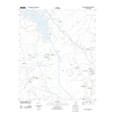
2011 Map of Rabon Crossroads
USGS Topo · Published 2011About this map
Wateree River dominates this landscape north of Camden, feeding a complex network of local ponds and creeks that sustained the agricultural and social life of this Kershaw County region. The map captures a transition from rural crossroads like Rabon Crossroads and Cantey to developed residential pockets such as Windsor Heights, Kirkover Hills, and Branham Heights. Genealogical interest is found in the scattered burial grounds, including Ebenezer Cemetery, Parker Cemetery, and Saint Matthews Cemetery, which are preserved alongside historic land features like Gents Crossing and Graves Ford.
Find a feature on this map
141 named features on this map. Tap any name to fly to it.
Don’t see what you’re looking for? This feature index may not catch every label — zoom into the map to look around manually.
Map Details
Editions of this 2011 Rabon Crossroads Map
This is the sole edition of this map. No revisions or reprints were ever made.
Other maps of this area

1935 · Camden
USGS Topo · 1:48,000

1935 · Killian
USGS Topo · 1:48,000

1937 · Killian
USGS Topo · 1:62,500

1938 · Camden
USGS Topo · 1:62,500

1938 · Hagood
USGS Topo · 1:62,500

1941 · Spartanburg
USGS Topo · 1:250,000

1942 · Camden
USGS Topo · 1:125,000

1953 · Camden South
USGS Topo · 1:24,000

1953 · Lugoff
USGS Topo · 1:24,000

1953 · Blaney
USGS Topo · 1:24,000