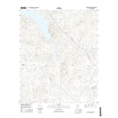
2017 Map of Rabon Crossroads
USGS Topo · Published 2017About this map
The Wateree River corridor near Camden is defined by a complex hydraulic landscape of reservoirs, creek-fed ponds, and low-lying wetlands. At the northern end of this reach, Wateree Lake creates an expansive shoreline near the settlement of Eagles Nest, while the river continues south past Mickle Lake. The terrain is punctuated by significant rises such as Knight Hill and Cantey Hill, which overlook a network of smaller water bodies including Susies Pond and McGuirts House Pond Number One.
Find a feature on this map
108 named features on this map. Tap any name to fly to it.
Don’t see what you’re looking for? This feature index may not catch every label — zoom into the map to look around manually.
Map Details
Editions of this 2017 Rabon Crossroads Map
This is the sole edition of this map. No revisions or reprints were ever made.
Other maps of this area

1935 · Camden
USGS Topo · 1:48,000

1935 · Killian
USGS Topo · 1:48,000

1937 · Killian
USGS Topo · 1:62,500

1938 · Camden
USGS Topo · 1:62,500

1938 · Hagood
USGS Topo · 1:62,500

1941 · Spartanburg
USGS Topo · 1:250,000

1942 · Camden
USGS Topo · 1:125,000

1953 · Camden South
USGS Topo · 1:24,000

1953 · Lugoff
USGS Topo · 1:24,000

1953 · Blaney
USGS Topo · 1:24,000