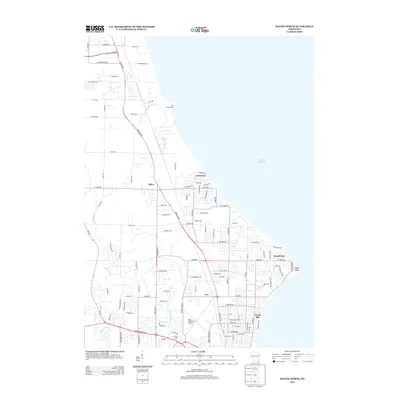
2013 Map of Racine North
USGS Topo · Published 2013About this map
The Root River carves a winding path through this suburban and industrial corridor north of Racine, where the landscape meets the western shore of Lake Michigan. This 2013 survey illustrates a transition from the dense neighborhood grids of North Bay and the village of Wind Point to more industrial and transport-oriented sites. Along the river’s lower reaches, the historic Horlick Mill remains a grounded reference point for the area’s early industrial roots, while the John H Batten Airport occupies a significant portion of the interior terrain.
Find a feature on this map
101 named features on this map. Tap any name to fly to it.
Don’t see what you’re looking for? This feature index may not catch every label — zoom into the map to look around manually.
Map Details
Editions of this 2013 Racine North Map
This is the sole edition of this map. No revisions or reprints were ever made.
Other maps of this area

1891 · Bayview
USGS Topo · 1:62,500

1892 · Racine
USGS Topo · 1:62,500

1901 · Bayview
USGS Topo · 1:62,500

1905 · Racine
USGS Topo · 1:62,500
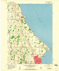
1958 · Racine North
USGS Topo · 1:24,000
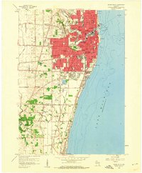
1958 · Racine South
USGS Topo · 1:24,000
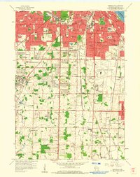
1958 · Greendale
USGS Topo · 1:24,000
1958 · South Milwaukee
USGS Topo · 1:24,000
1958 · South Milwaukee
USGS Topo · 1:62,500
1958 · Franksville
USGS Topo · 1:24,000